Modelling And Prediction of Air Pollution and Noise Data Management with Geographic Information System
What is MAPANDGIS?
MAPANDGIS is a professional tool for calculating industrial, traffic and leisure noise. An excellent feature of the program system is the integrated GIS surface. With the functions of the geographic information system, the result data can be processed and presented in a variety of ways. In addition, the calculation model can be displayed in three dimensions.
Noise types:
- Commercial and industrial noise
- Road traffic noise
- Rail traffic noise
- Parking lot noise
- Leisure noise
- optional: ambient noise (VBUS / VBUSCH / VBUI)
- GIS surface
- Layer technique
- 3D presentation
- Interactivity between 2D and 3D graphics
- Projection of every 2D layer in the 3D representation (e.g. noise map or site plan)
- Administration of the spectra in database tables
- SQL-like filter and selection functions for analyzing model data
- Import of extensive vector and pixel formats
- Horizontal and vertical noise map
- Interpolation of the results (noise map)
- Building noise map
- Noise reduction optimization
- DIN ISO 9613, ISO / TR 17534 (industrial and commercial noise)
- RLS 90 (road traffic noise)
- Sound 03 (rail traffic noise)
- Lfu study 2007, RLS 90 (parking lot noise)
- Environmental noise guidelines (VBUS / VBUSCH / VBUI) (road, rail, industry)
- Immission point
- Point source
- Line source
- Area source
- Vertical surface source
- road
- parking spot
- traffic light
- rail
- building
- Sound screen
- 3D reflector
- bridge
- Vegetation
- Soil property
- use
- Calculation area
- High points
- Contour lines
- Terrain grid
Screenshots of MAPANDGIS
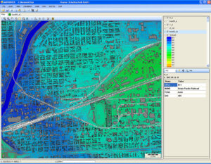
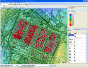
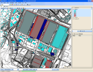
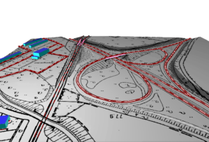
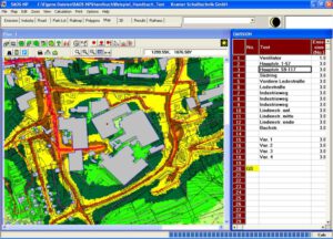
(Forwarding to our distribution website)
Comparison of features MAPANDGIS & noise3D/
| Features | MAPANDGIS | noise3d | |
| Standards supported | ISO 9613-2 | ✓ | ✓ |
| ISO 17534 | ✓ | ✓ | |
| Acoustic elements | Receivers | ✓ | ✓ |
| Point source | ✓ | ✓ | |
| Line source | ✓ | ✓ | |
| Area source | ✓ | ✓ | |
| Vertical area source | ✓ | ✓ | |
| Road noise | ✓ | – | |
| Parking lot | ✓ | – | |
| Rail noise | ✓ | ✓ | |
| Building | ✓ | ✓ | |
| Barrier (screen) | ✓ | ✓ | |
| 3D-reflector | ✓ | – | |
| Bridge | ✓ | ✓ | |
| Foilage | ✓ | ✓ | |
| Ground factor | ✓ | ✓ | |
| Land use | ✓ | ✓ | |
| Calculation area | ✓ | ✓ | |
| Creating Terrain | from contour lines | ✓ | ✓ |
| from elevations points | ✓ | – | |
| from grid data | ✓ | – | |
| Import from Google Earth | – | ✓ | |
| Calculation | Single point | ✓ | ✓ |
| Noise map | ✓ | ✓ | |
| Vertical noise map | ✓ | – | |
| Building noise map | ✓ | – | |
| Reflection | ✓ | ✓ | |
| Multiple reflections | ✓ | ✓ | |
| Screen: frequency dependent absorption | ✓ | – | |
| Directivity index | ✓ | ✓ | |
| Frequency dependent ground absorption | ✓ | ✓ | |
| Ground absorption Equ. 10 ISO 9613 | ✓ | ✓ | |
| Vertical screening | ✓ | ✓ | |
| Lateral screening | ✓ | ✓ | |
| Meteorology: C0 Day/Evening/Night | ✓ | ✓ | |
| Meteorology from wind statistics | ✓ | – | |
| Optimization noise abatement | ✓ | – | |
| Data export | Export to Excel (.csv) | ✓ | ✓ |
| Export to HTML | ✓ | ✓ | |
| Integration with Web Map Services (WMS) | ✓ | – |
